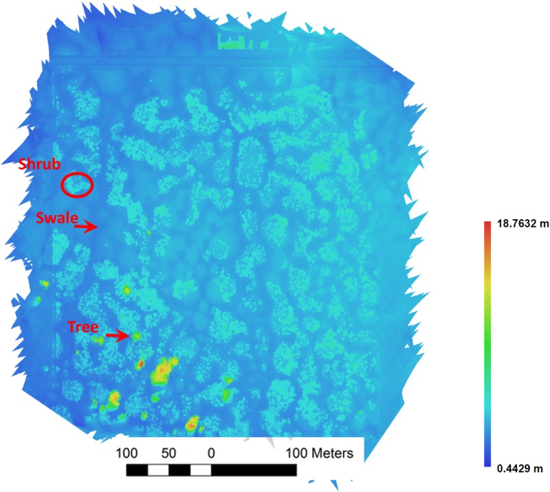
Fig. 5.
A DSM of the vernal pool region of the Whetstone Savanna Preserve in southern Oregon generated from aerial images collected using a small drone. The same examples of shrub, swale, and trees used in Fig. 4 are indicated. The heat map represents elevation of vegetation above the land surface across the prairie.

