
Figure 1.
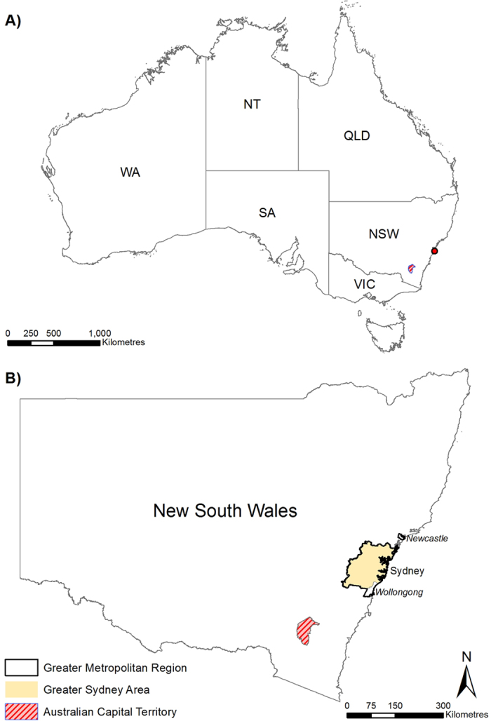
(A) Map of Australia. Red dot locates Sydney. The States include: New South Wales (NSW), Victoria (VIC), Tasmania (TAS), South Australia (SA), Western Australia (WA) and Queensland (QLD) as well as the two Territories: The Australian Capital Territory (ACT) and the Northern Territory (NT). (B) The State of New South Wales. The State is regularly affected by natural disasters associated with ‘hydro-meteorological’ hazards. See text for more details. The vast majority of the State’s population is located in the Greater Metropolitan Region between Newcastle and Wollongong. Figure created using Esri ArcGIS 10.2 (https://esriaustralia.com.au/products-arcgis-software-102).