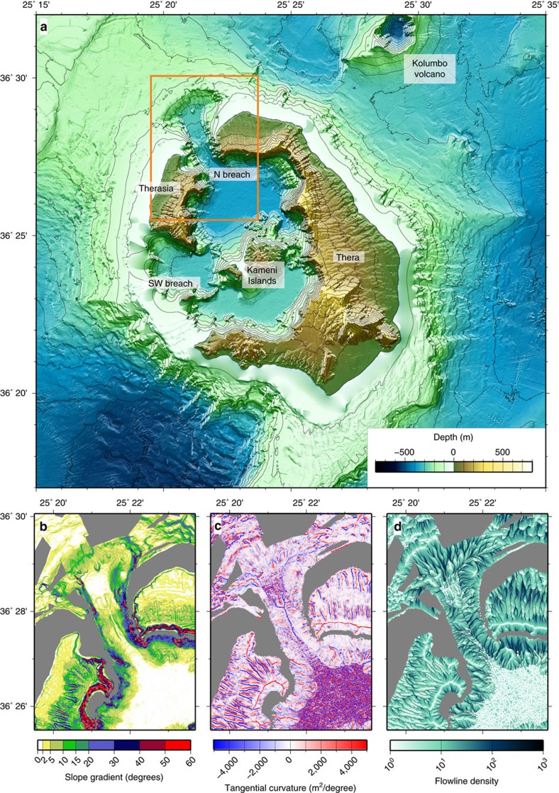
Figure 1. Topographic features of the Santorini onshore-offshore volcanic field.
(a) Combined topographic map of Santorini Volcano based on onshore and offshore data. Orange box outlines the area of the northwest strait, shown as (b) a slope gradient map, (c) a tangential curvature map and (d) a flowline density map.

