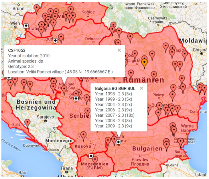
Figure 1.
Geographic display of classical swine fever virus (CSFV) isolates available from the Balkan region. Map generated by the “CSF Maps” tool based on Google maps. The map was generated by selecting the countries Albania, Bulgaria, Croatia, Hungary, Macedonia, Montenegro, Romania, Serbia, and Slovakia. The options “show outbreaks”, “no display of isolates with unspecified location”, and “isolation years 1998–2010” were selected. Clicking on the flagged outbreak location provides additional information comprising catalogue number (e.g., CSF1053), year of isolation, animal species (domestic pig (dp) or wildboar (wb)), genotype, and location with longitude and latitude coordinates. Clicking on the capital of a country (symbolized by a white square with black diamond) provides an overview of available isolates from the respective country (e.g., Bulgaria) comprising isolation year, genotype, and number of available database entries.

