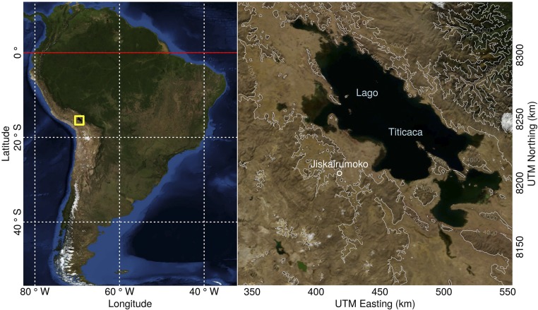
Fig. S1.
Map of Jiskairumoko and study area. Both maps reference the WGS84 datum. The right map is projected to UTM zone 19S. Base imagery is courtesy of NASA (92). Topographic contours are derived from Global Multiresolution Terrain Elevation Data 2010 (93). Cartography by William (Randy) Haas using R statistical computing language and associated mapping packages (94–96).

