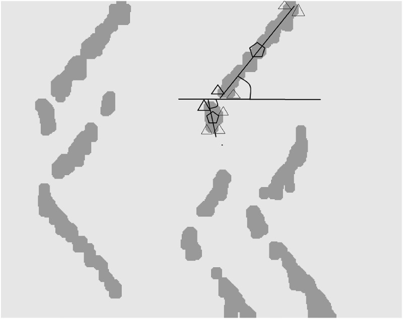
Fig 5. An example of the propagating region identification procedure (stage IV of the proposed algorithm) and feature extraction.
The slope parameters found by center/edge coordinates are shown by triangles and pentagons, respectively. Bold triangles show the closest distance of edges. The center is defined as the center of each propagating region. The edges are the upper and lower boundaries of such regions. The slope is calculated based on the angle between a virtual line representing the propagation region (bold line) and the horizontal line.

