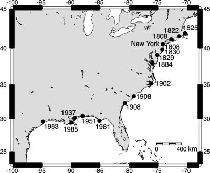
Fig. 2.
Map showing linear expansion of exploitation of oyster reefs along eastern North America. Individual estuaries are labeled with the earliest date for reef degradation, as derived from landings data (peak in landings), earliest importation of nonendemic oysters to restock each estuary, and earliest use of dredges. The major urban center driving this exploitation is shown.

