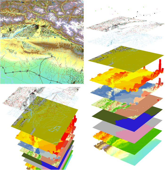
Figure 2. An excerpt of selected WorldPop gridded datasets at 100 m resolution, in plan view and as pseudo 3d stacks.
The village of Dibyanagar, Southern Nepal, and surrounding region. Layers (in ascending order) are topography; slope; country ID; country area; Globcover60 land cover; GPW v4 (ref. 11) population count; GPW v4 (ref. 11) population density; Landsat62 water; and OSM64 water, highways, rail network, railway stations, runways, and heliports.

