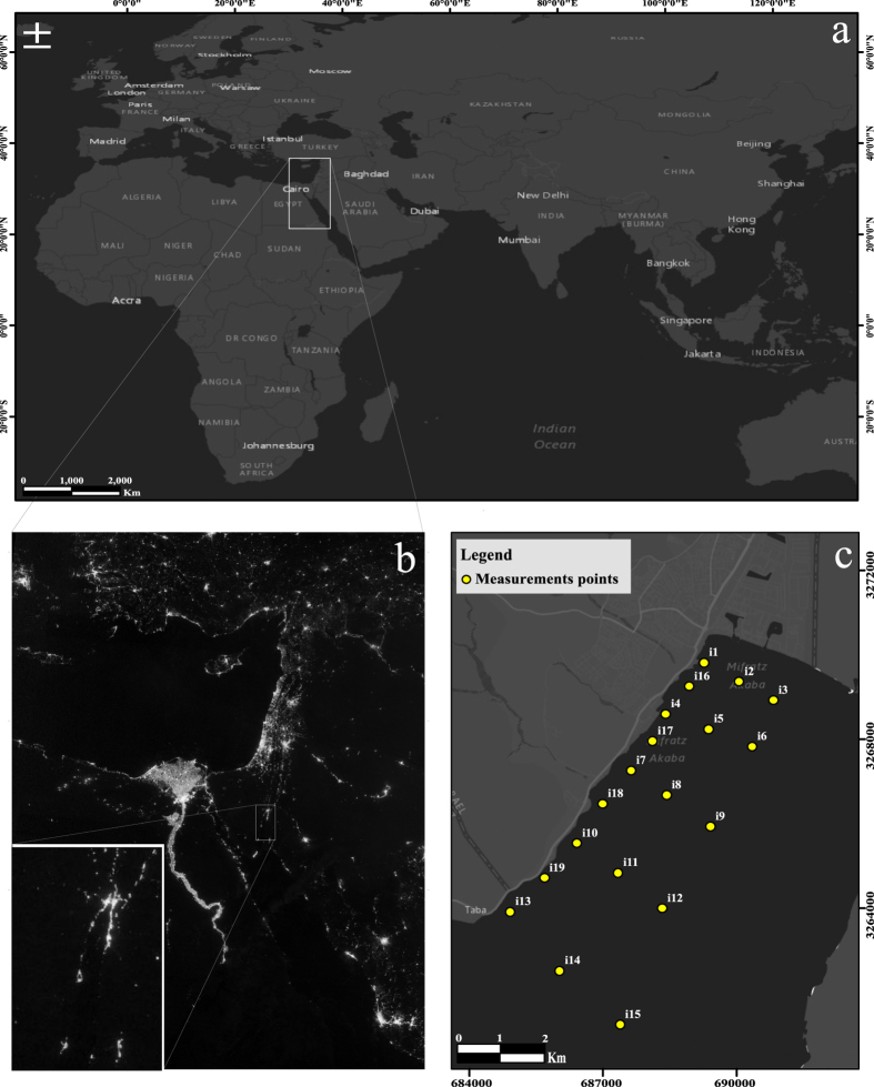
Figure 2.
(a) World map. (b) Night-lights satellite photo of the Middle East and the Gulf of Aqaba close up (Credit: NASA Earth Observatory/Suomi NPP) (c) The study area. (a and c maps were created by using ArcGIS Version. 10.2.1 (Esri Inc.) platform. Sources: Esri, DeLorme, HERE, USGS, Intermap, iPC, NRCAN, Esri Japan, METI, Esri China (Hong Kong), Esri (Thailand), MapmyIndia, TomTom. Esri, DeLorme, HERE, MapmyIndia).

