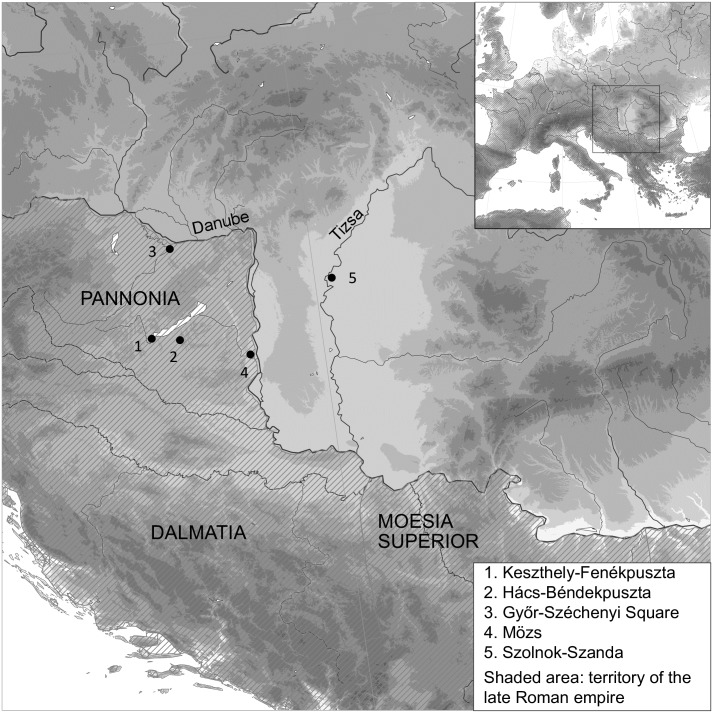
Fig 1. Map showing the location of the sites on either side of the late Roman frontier.
Roman provinces map data adapted from the Ancient World Mapping Centre (Creative Commons Attribution-NonCommercial 3.0 Unported); coast line and river data from the GSHHG [50]; elevation data from the GMTED2010 [51].

