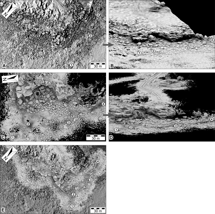
Figure 11. DSMs of the Minyirr dinosaurian tracksite (UQL-DP56) derived from various laser acquisition methods.
(A, B) manned-aircraft aerial-based models (aerial and oblique view, respectively). (C, D) Zebedee handheld ground-based models (aerial and oblique view, respectively). (E) Data from C overlain on data from A. Numbered place-markers denote the GPS position of track-bearing platforms: 1, UQL-DP56-4, 5, 9; 2, UQL-DP56-7, 8; 3, UQL-DP56-1, 2, 3; 4, UQL-DP56-6. (A) and (C) images overlay an opaque image of (C).

