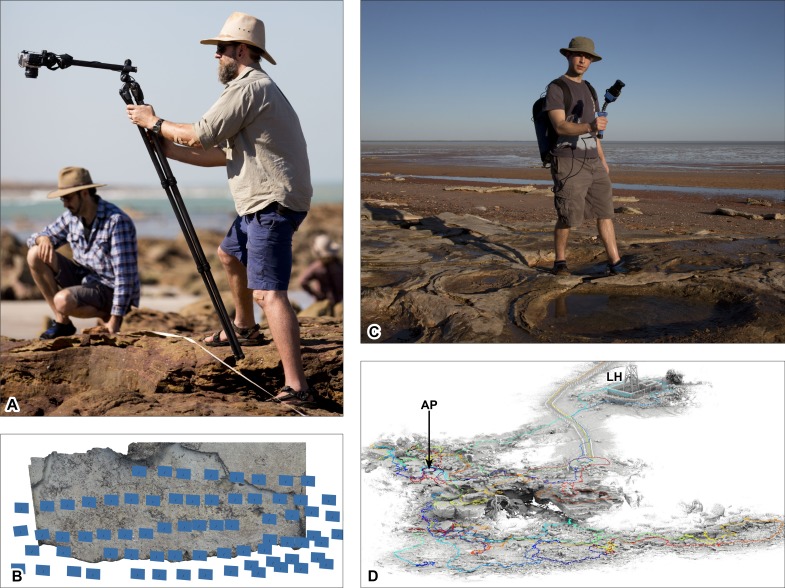
Figure 4. Ground-based data acquisition techniques used on Broome Sandstone dinosaurian tracksites.
(A) Ground-based photography (left to right: AR and SWS). (B) photogrammtery-derived orthophotographic mosaic of the track-bearing platform UQL-DP56-4, -5 and -9 (blue rectangles indicate spatial position of the camera). (C) ‘Zebedee’ handheld ground-based laser scanning (RZ). (D) point cloud of Minyirr (UQL-DP56). Colored line indicates path taken whilst scanning. Area of B and C equals approximately 20 m2 and 4 ha, respectively. Abbreviations: AP, Anastasia’s pool; LH, Lighthouse. Photograph credit (A, C): Damian Kelly.

