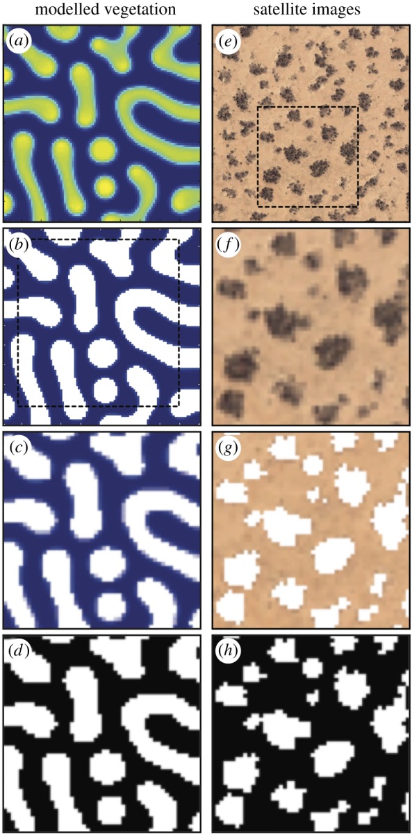
Figure 2.

Thumbnails showing the image processing steps taken during the segmentation of modelled vegetation images (a–d) and satellite images (e–h). In the binary images (d and h), vegetation patches are represented by foreground (white) pixels, and bare ground interpatches are represented by background (black) pixels.
