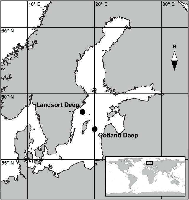
Fig 1. Map of the Baltic Sea.
The map shows the location of the sampling stations within the Central Baltic Sea. The main map is marked by the black square within the global map in the inset. Both maps were generated with the software package Ocean Data View [30].

