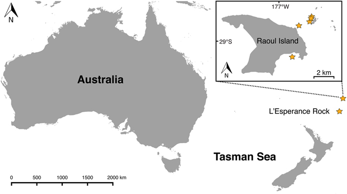
Figure 1.

Map of the southeastern Indian Ocean and southwestern Pacific showing the location of the Kermadec Islands. Inset shows map of Raoul Island. Stars indicate sample collection localities of Tripneustes kermadecensis n. sp. The map is based on the Wikimedia Commons public domain map file BlankMap-World6.svg (https://commons.wikimedia.org/wiki/File:BlankMap-World6.svg) and edited using the cross-platform geographic information system QGIS v. 2.8.2 (Quantum GIS Development Team (2016). Quantum GIS Geographic Information System. Open Source Geospatial Foundation Project. http://qgis.osgeo.org).
