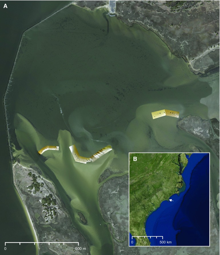
Fig. S3.
(A) Aerial imagery of the study site in the basin of Zeke’s Island NERR. Georeferenced photos are overlaid to show the experimental plots on the three intertidal flats. The Federal Point revetment separates the shallow basin from the lower Cape Fear River estuary to the west. Note the distribution of Gracilaria (black patterns) throughout the basin. (B) Satellite imagery of the eastern seaboard of the US. The white arrow denotes the location of the study site slightly North of Cape Fear, NC. Georeferenced photos in A courtesy of Devon Eulie (photographer).

