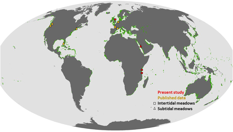
Figure 4.
Map of the locations where sediment elevation rates have been reported, from our sites and published studies, both for intertidal and subtidal seagrass meadows. The background map shows the latest dataset for the global seagrass distribution (available from UNEP-WCMC, Short FT (2016). Global distribution of seagrasses (version 4.0). Fourth update to the data layer used in Green and Short (2003). Cambridge (UK): UNEP World Conservation Monitoring Centre62. http://data.unep-wcmc.org/datasets/7).

