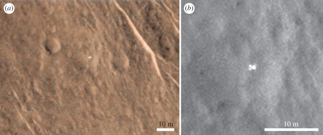
Figure 11.
Super-resolution technique of lander, using images listed in table 1. This technique used ArcMap to georeference the images one to the other (see text for more details). (a) HiRISE MRGB ESP_039308_1915_MRGB showing lander and potential front shield 12 m above it. (b) Red channel ESP_039308_1915_MRGB with expanded view across the lander.

