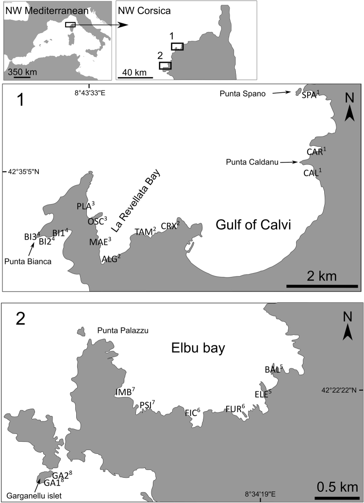
Figure 1.
Studied zones and sites at each locality. For each locality (1: La Revellata; 2: Scandola) study sites are indicated in capital letters. Superscript Arabic numbers indicate repartition of sites into zones (1 to 4: within La Revellata locality; 5 to 8 within Scandola locality). The map was drawn using free and open source software Inkscape 0.91 (https://inkscape.org/en/) and QGIS 2.14 (http://www.qgis.org/). Map was drawn by authors using online Standard tile layer from OpenStreetMap data as background model (© OpenStreetMap contributors), available under ODbL licence (CC-BY-SA) at http://www.openstreetmap.org/.

