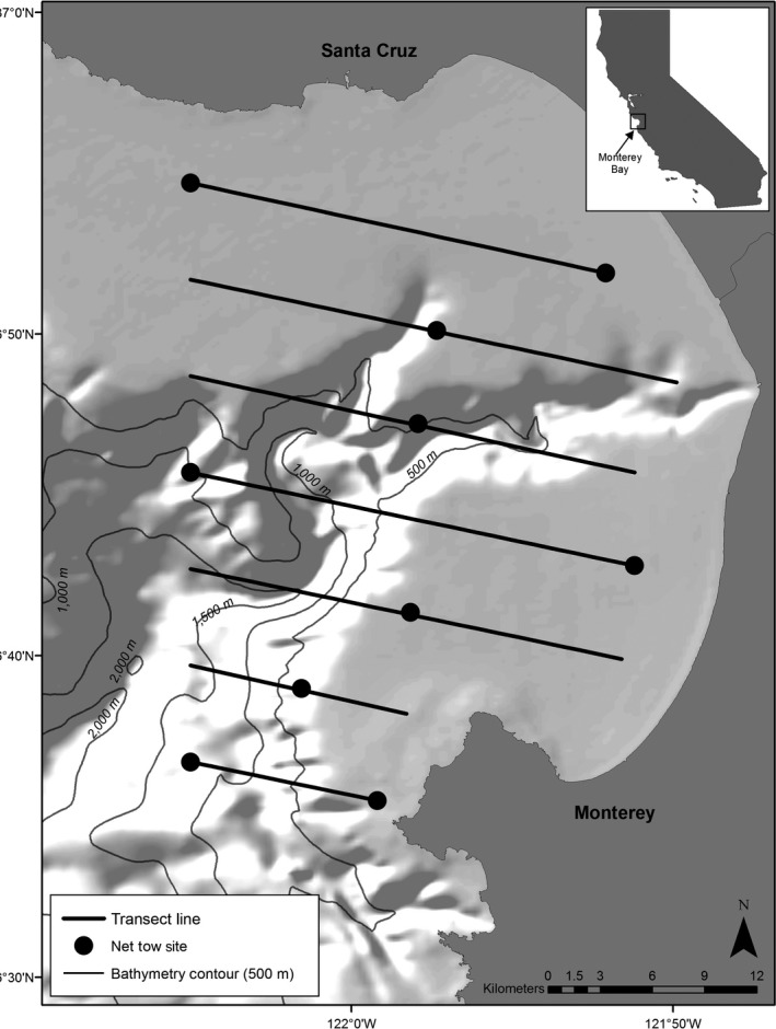
Figure 1.

Monterey Bay study area. Monterey Submarine Canyon is characterized by waters deeper than 500 m (light grey lines). Black lines indicate transect lines (10–22 km in length; 5.5 km apart) followed during shipboard surveys to sample krill and forage fish distributions and densities using hydroacoustics, as well as whale distribution and density. Black circles indicate net tow sites to sample zooplankton abundance.
