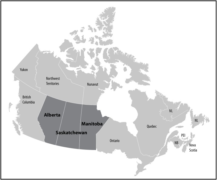
Fig 1. Map of Canada highlighting the three prairie provinces, Alberta, Saskatchewan and Manitoba.
For perspective, the country of France is about one-third the size of the three prairie provinces combined (0.643M km2) and in 2006 had a population that was 12x as large (63.62M)–see http://data.worldbank.org/indicator/SP.POP.TOTL?location=FR. Abbreviations: NL Newfoundland; NB New Brunswick; PEI Prince Edward Island.

