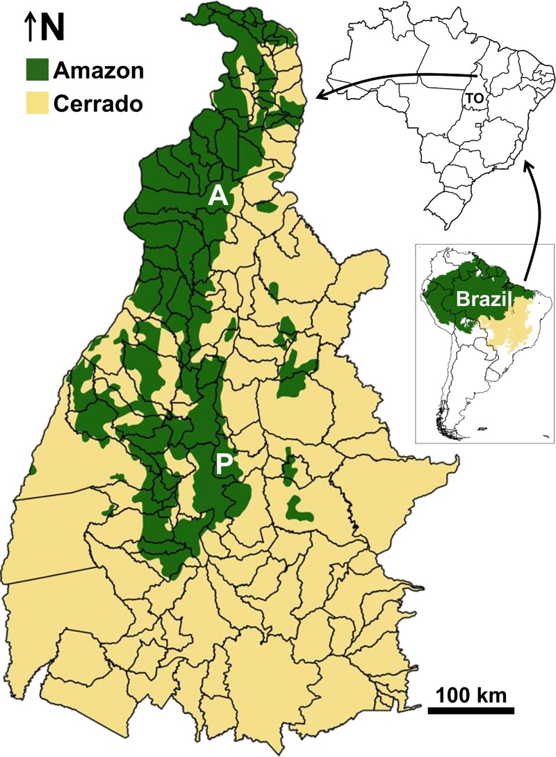
Fig 1. The state of Tocantins (TO), Brazil.
The map shows municipality limits (with P and A highlighting the two largest urban centers, Palmas and Araguaína) and the approximate location of the boundary between the Amazon and Cerrado biomes. Biome boundaries were drawn using shapefiles available from The Nature Conservancy at http://maps.tnc.org/gis_data.html#TerrEcos.

