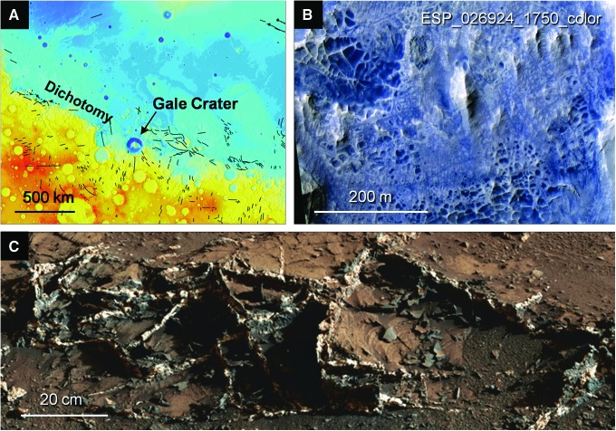
FIG. 12.
Extensive fracturing and fluid movement in Gale Crater. (A) Regional view on basemap of MOLA topography, showing dichotomy and faults (black lines). Elevation as in Fig. 2A. (B) HiRISE image showing development of boxwork structures in Gale. Centerpoint, 4.84°S, 137.35°E. (C) Garden City mineral-filled fractures in Gale Crater, shown in a portion of a mosaic of images taken by the Mastcam instrument on Curiosity over Sols 923–939, 944–948. Image credits: (A) MOLA basemap: NASA/JPL-Caltech/GSFC; (B) NASA/JPL/University of Arizona; (C) NASA/JPL-Caltech/MSSS.

