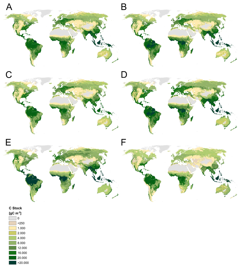
Extended Data Figure 4. Potential biomass stock maps used in the study.
Unproductive areas have been clipped from all maps. A) IPCC-based, FRA adjusted, B) IPCC-based, Pan-adjusted, C) Cell-based minima of “classic data”, D) Cell-based maxima of “classic data”, E) Remote sensing derived, F) West et al. 201057. For details and sources for maps A-E, see Method section.

