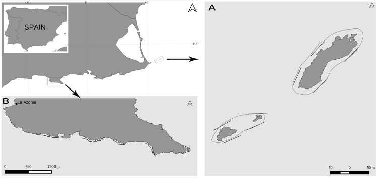
Fig 1. Study sites.
(A) Islas Hormigas and Hormigon in Cabo de Palos Marine Reserve (37.6550° N -0.6497° E). The distance between islands is not to scale to ease the representation. (B) Cabo Tiñoso (37.5370° N -1.1419° E). Straight lines: 50-m Conventional Strip Transects. Curved lines: Tracks of the Tracked Roaming Transects.

