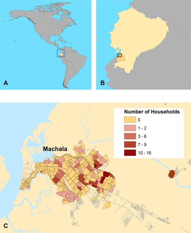
Fig 1. A map of the study site and distribution of study households.
(A) Location of Ecuador in the Americas (B) location of the city of Machala, El Oro Province, Ecuador, (C) and the distribution of households surveyed in this study. Household locations were aggregated to the neighborhood level for de-identification. Some clusters (5 households) have been disaggregated across block boundaries. This figure was created in ArcGIS version 10.3.1 (ESRI, 2016) using shape files from the GADM database of Global Administrative Areas, version 2.8, freely available at gadm.org. Streets are derived from data available at the OpenStreetMap project (openstreetmap.org) for the municipality of Machala, El Oro, Ecuador. Neighborhood polygons were manually digitized by AMSI, and the shape file data are available upon request to the authors.

