Figure 1.

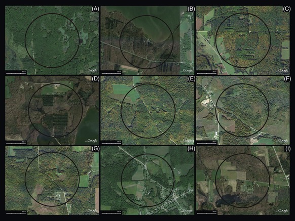
Arial maps showing surrounding land use for ponds. (A) Turkey Track, (B) Relyea, (C) Square, (D) Blackjack, (E) Road, (F) Log, (G) Bowl, (H) Graveyard, (I) Mallard. The circle represents a 500‐m radius around each pond.

Arial maps showing surrounding land use for ponds. (A) Turkey Track, (B) Relyea, (C) Square, (D) Blackjack, (E) Road, (F) Log, (G) Bowl, (H) Graveyard, (I) Mallard. The circle represents a 500‐m radius around each pond.