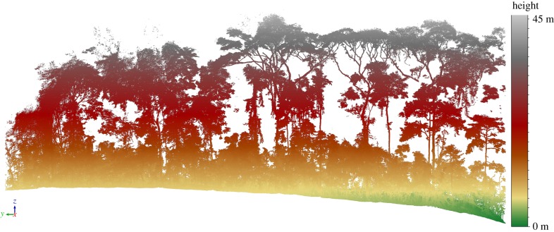
Figure 1.
70 × 5 m transect of TLS data collected in Ankasa, Ghana, March 2016, with points coloured by height. The data are from a 70 × 100 m plot which was scanned with two Riegl VZ-400 TLS instruments, using a 10 m grid spacing between scan locations as described in [48]. The plot contained 270 trees with DBH greater than 10 cm, with TLS-estimated AGB of 234 tons (or approx. 334 t ha−1).

