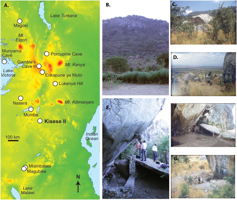
Fig 1. Kisese II in East African context.
(A) Schematic map of East Africa and archaeological sites discussed in text, (B) boulders that form Kisese II below the Irangi Hills as seen in 2015, with arrow pointing to site, (C) view over the Masaai Steppe from Kisese II in 1956, (D) the 1956 Inskeep excavations in progress, (E) view of the shelter in 2015 with retaining wall, and (F) North excavation wall during the 1956 excavation; white labels record spit (level), with spit XX is the base of the excavation at the time the photograph was taken. Spit I (59 cm) and spit II (21 cm) are thicker than the remainder, which are each ~15-cm-thick. 1956 photographs by R. Inskeep (published with permission of J. Charlson, executor of the Inskeep estate), 2015 photographs by C. Tryon.

