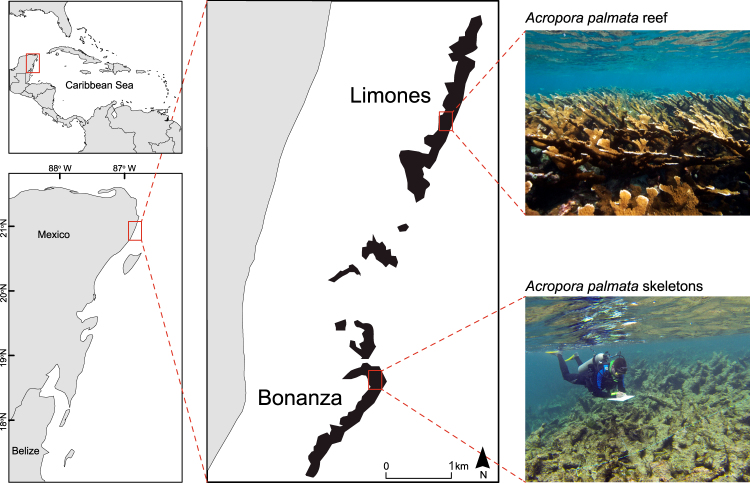
Figure 1.
General location and study sites. (upper left panel) Caribbean region, (bottom left panel) Mesoamerican Reef, (central and right panels), Limones and Bonanza reefs on the Caribbean coast of Mexico. Map produced in QGIS 2.18 (www.qgis.org) using the following data sources: National Geospatial-Intelligence Agency (base map, World Vector Shoreline Plus, 2004. http://shoreline.noaa.gov/data/datasheets/wvs.html). The location of survey sites was obtained from the present study. Data sources are open access under the Creative Commons License (CC BY 4.0).

