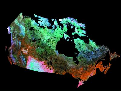
Figure 1.
High-resolution land cover map of Canada from processed classified SPOT4/VGT data (26). This is the most advanced depiction of habitat heterogeneity available for Canada. Imagery from some arctic islands was unavailable for this land cover classification.

