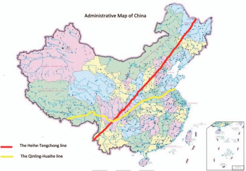
Figure 2.

The map was created by Photoshop CS6 (URL: adobeid-na1.services.adobe.com) made by author CS, which is permitted to publis under an Open Access license by its copyright owner (Permission Document). The Heihe-Tengchong line and the Qinling-Huaihe line. The Heihe-Tengchong line is a line from Heihe in Heilongjiang province to Tengchong in Yunnan province. China was divided into south and north by the Heihe-Tengchong line. It was raised by geographer Weiyong Hu in 1935. The east has a more developed economy and degree of civilization than west. The Qinling-Huaihe line is along the Qinling Mountains.The Qinling Mountains are the barrier and boundary separating the climates of both northern and southern China; they are the highest mountains in central-western China. Natural conditions, agricultural production mode, geographical features and people's life styles greatly differ between the south and north of the Qinling-Huaihe line.
