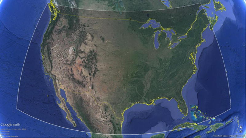
Figure 1.

Map of the domain area used to grid the MAIAC and VIIRS AOT datasets. Domain was chosen based on the extent of MAIAC data currently available over North America. Coordinates of the upper left corner are (51° N, 129° W) and the lower right coordinates are (22° N, 65° W). Map data courtesy of Google Earth Pro (V 7.1.2.2041), Landsat.
