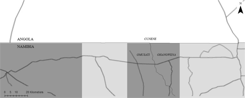
Fig. 1.
Map demonstrating the grouping of areas in Namibia for the difference-in-difference analysis. The horizontal line in the middle of the map represents the Angola–Namibia border. The labels Cunene, Omusati, and Ohangwena represent the Angolan province and Namibian regions encompassed by the intervention corridor. The double lines represent major road networks in the programme area. Dark gray highlights areas in Namibia that are adjacent to Phase I Angolan areas. Light gray highlights areas in Namibia that are adjacent to Phase II Angolan areas

