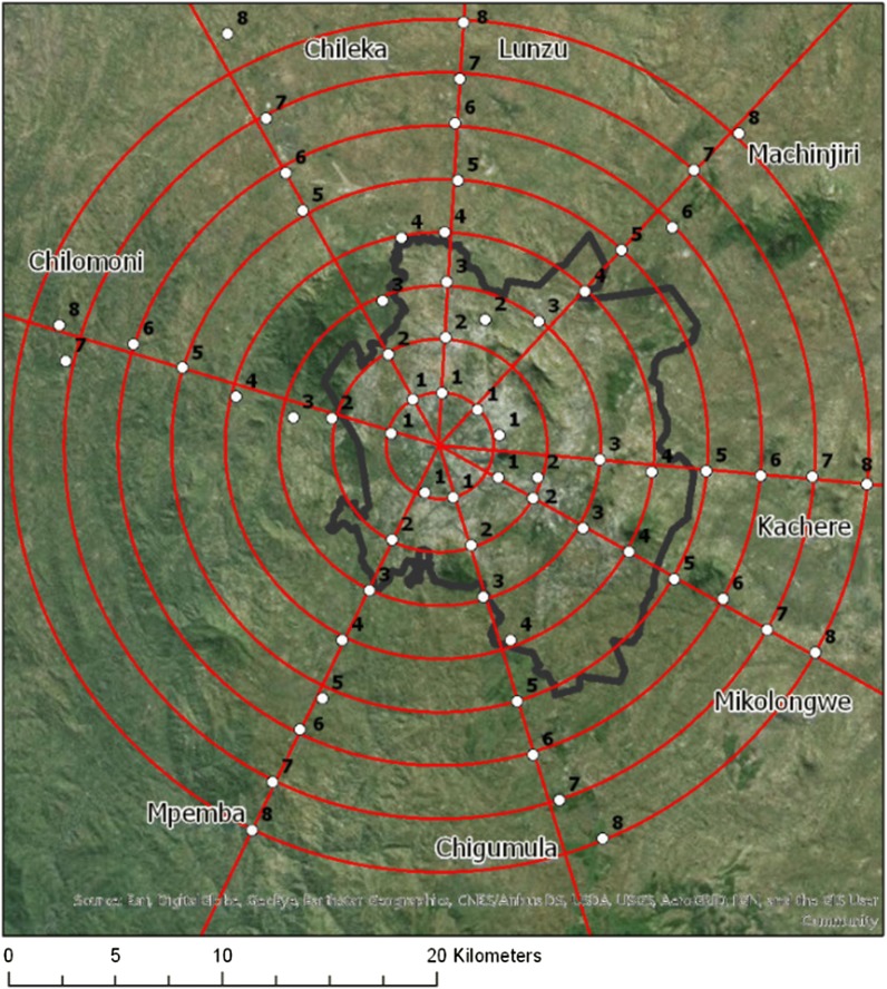
Fig. 1.
Sampling design (black boundary denotes Blantyre city administrative boundary). The eight transects were aligned with major roads leading outwards from Blantyre city centre towards rural Blantyre. Clusters of five households each within a distance of 1.5 km of the road were chosen at random from within a 500 m × 500 m area at each of the 64 sampling points. Each 500 m × 500 m area was divided into a grid of 25 subunits, each 100 m × 100 m, and five houses were chosen at random from five of the 25 subunits. If more than one household was in a 100 m × 100 m subunit, only one was selected. If fewer than five houses were located within the total 500 m × 500 m area, houses nearest to the grid were selected progressively until five households total were identified [25]

