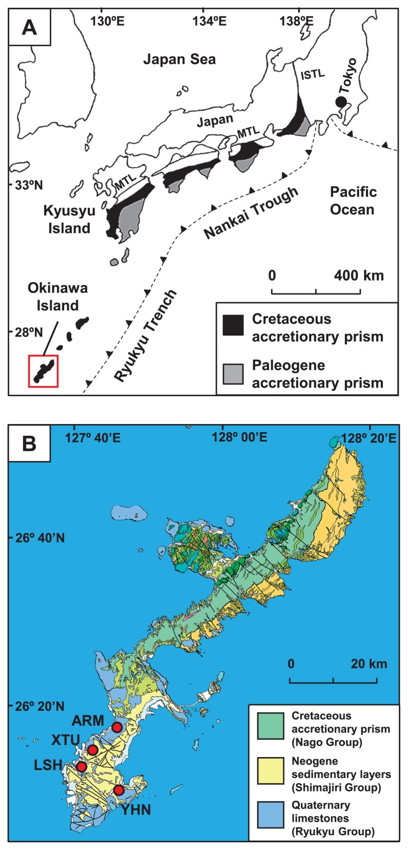
Fig. 1.
(A) The location of the accretionary prism in Japan, known as the Shimanto Belt, and (B) geological map of the study area (red square). The location of the Shimanto Belt was taken from Kano et al. (23). The geological map is modified from a 1:200,000 seamless digital geological map of Japan (16). The red circles indicate the location of the wells used for sampling. MTL, Median Tectonic Line; ISTL, Itoigawa-Shizuoka Tectonic Line.

