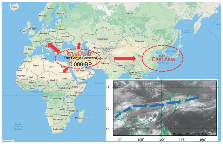
Fig. 3.
Migration of barley and wheat cultivars, and a satellite image taken in June in East Asia. BP, before present. The blue arrow shows the direction of winds in the Asian monsoon. The satellite infrared image was taken by the Multifunctional Transport Satellite-2 (MTSAT-2; Himawari-7) in 2014. Green lines show country borders and the world map was obtained from Google Maps.

