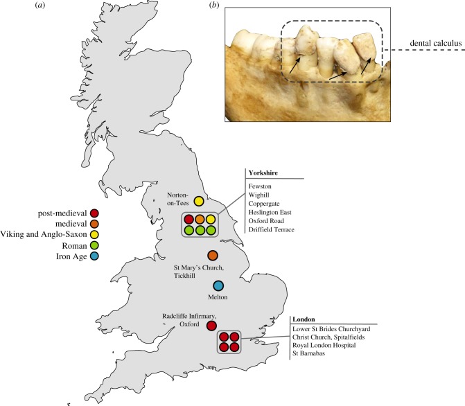
Figure 1.
Map of archaeological dental calculus samples analysed in this study. (a) Map of Great Britain showing distribution of archaeological sites analysed in this study, colour-coded by time period. Specific details on the archaeological sites analysed in this study, including site codes and repository IDs, can be found in electronic supplementary material, table S2. Norton-on-Tees refers to two archaeological sites—East Mill and Bishopsmill School. (b) Example of dental calculus analysed in this study (Lower St Brides, SK1932). (Online version in colour.)

