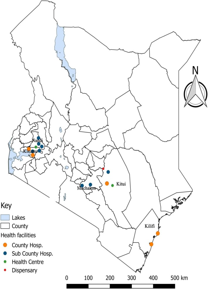
Fig. 1.
Study area showing distribution of the study sites – Kenyan Map. Counties Sampled (Map developed by Author using QGIS Version 2.18.10) with geographical data was obtained from https://africaopendata.org/dataset/kenya-counties-shapefile and data on geo - coordinates and category of health facilities was obtained from Kenya Master Health facility list http://kmhfl.health.go.ke/

