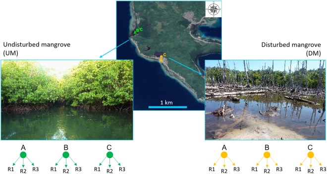
Figure 1.
Sampling area and the location of the two investigated mangroves: Undisturbed Mangrove (UM) and Disturbed Mangrove (DM). Reported are sites (A–C) sampled within each mangrove area. The map was generated using Google Earth Pro (version 7.3.0.3832, 32-bit), https://earth.google.com (Map Data: Google, 2017 DigitalGlobe; Google, 2017 TerraMetrics; Google, 2017 CNES/Airbus), and modified using Microsoft Power Point (version 16.0.8201.2200, 32-bit).

