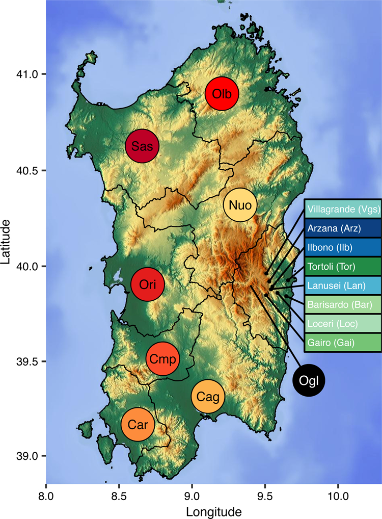
Figure 1: Geographical map of Sardinia.

The provincial boundaries are given as black lines. The provinces are abbreviated as Cag (Cagliari), Cmp (Campidano), Car (Carbonia), Ori (Oristano), Sas (Sassari), Olb (Olbia-tempio), Nuo (Nuoro), and Ogl (Ogliastra). For sampled villages within Ogliastra, the names and abbreviations are indicated in colored boxes. Color corresponds to the color used in the PCA plot (Figure 2). The Gennargentu region referred to in the main text is the mountainous area shown in brown that is centered in western Ogliastra (Ogl) and southeastern Nuoro.
