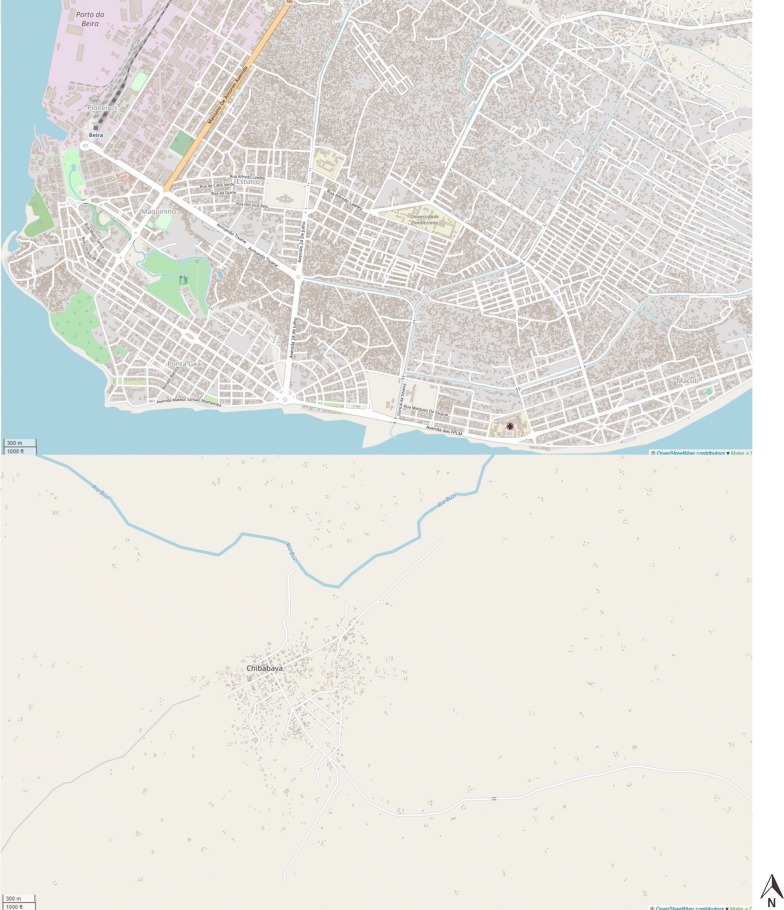
Fig. 2.
Two screenshots directly from OpenStreetMap showing formal and informal building settlements in Beira City (top screenshot, accessible: http://www.openstreetmap.org/#map=15/-19.8344/34.8557) and a more rural area of Chibabava (bottom screenshot, accessible: http://www.openstreetmap.org/#map=16/-20.2976/33.6509)

