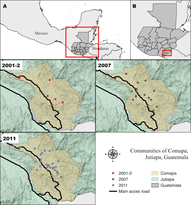
Fig 2. Selected communities of Comapa, Jutiapa, Guatemala, for the entomological surveys of 2001, 2007 and 2011.
A) Location of Guatemala relative to Mesoamerica. B) Location of the municipality of Comapa, Jutiapa relative to Guatemala. The communities are represented by circles with red (2001), brown (2007) and gray (2011). The map was developed using QGis 2.18 with publicly available administrative boundaries.

