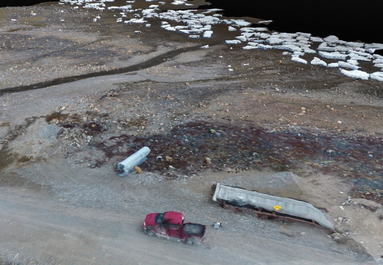
Fig 6. Three-dimensional rendering.
This photo captures the power of the three-dimensional meshing produced using UAV images taken at approximately 75’ above ground level. Three-dimension meshing, processed by Pixel3D, produced near-real life textures that could be beneficial in hazard mapping and emergency preparedness. Photo generated by Dylan G. Clark, with approval to distribute under the CC BY license.

