
Figure 2.
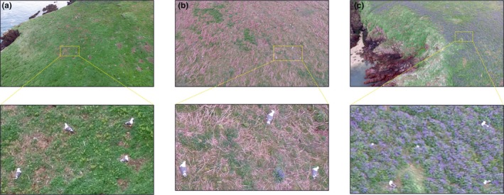
Example imagery captured by the unmanned aerial vehicle flown at 15 m altitude with zoomed areas showing the spatial resolution achieved and Larus fuscus identification on (a) open grassland, (b) rough grass/bracken, Pteridium spp. scrub, and (c) bluebells, Hyacinthoides nonscripta