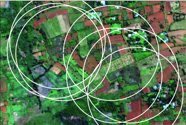
Fig. 3.
The single-level approach to linking satellite and household data often uses a single radial buffer zone. This can be problematic as it results in overlapping regions and multiple pixels being assigned to multiple households when households would not have access to some land parcels such as multiple homesteads.

