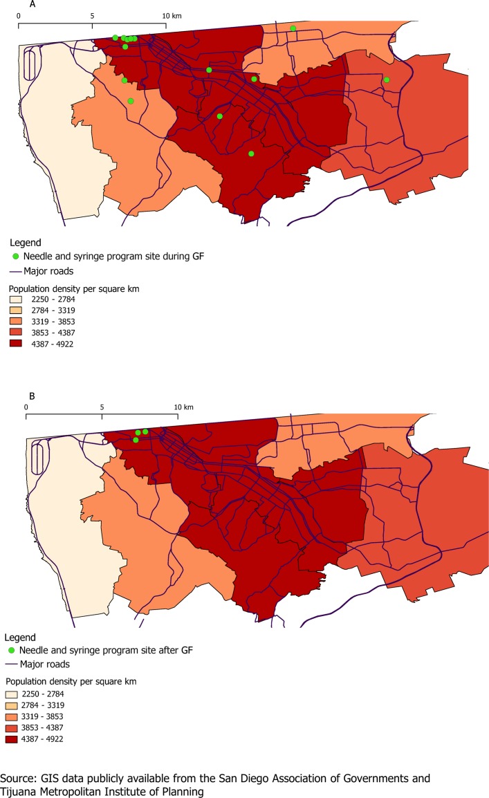
Figure 1.
Geographical coverage of needle and syringe programme outreach sites (A) during Global Fund (GF) period in May 2012 and (B) after GF withdrawal in 2015/2016. Geographical information system (GIS) data of the major roads and administrative districts of Tijuana are publicly available from the San Diego Association of Governments (SANDAG)31 and the Tijuana Metropolitan Institute of Planning, respectively.32

