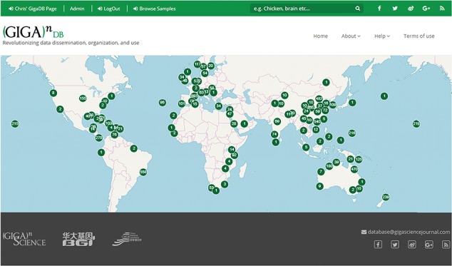
Figure 8.

Map Browser in GigaDB. The map browser uses latitude/longitude coordinates to generate point annotations on a world map, with the number of samples assigned to a given location labeled as values. The end user can pan-and-zoom the map, and by selecting a point annotation can view a list of samples associated with a specific location.
