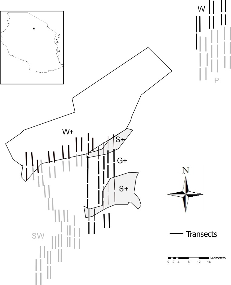
Fig 1. Map of Yaeda Valley and delineated land-use strata.
The map shows the distribution of the walking transects in three land use strata defined in the REDD+ scheme [Woodland (W+), Grazing (G+), Settlement (S+)] and three non-REDD+ strata (Woodland (W), Plains (P), and Southern woodland (SW)]. The inset on the top left indicates the location of Yaeda Valley in Tanzania. For clarity, transects were bolded and are hence not to scale.

