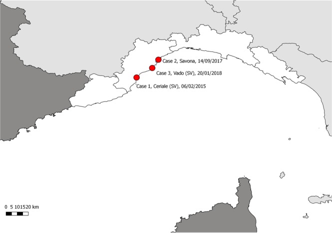
Figure 2.

Map of the study area (Ligurian coastline), displaying the stranding locations of the 3 striped dolphins infected by Salmonella 1,4,[5],12:i:- variant (marked by red dots). The map was created by A.P. with QGIS (QGIS Development Team (2018). QGIS Geographic Information System. Open Source Geospatial Foundation Project. http://qgis.osgeo.org). Copyright © 2018 Alessandra Pautasso. Permission is granted to copy, distribute and/or modify this document under the terms of the GNU Free Documentation License, Version 1.3 or any later version published by the Free Software Foundation; with no Invariant Sections, no Front-Cover Texts, and no Back-Cover Texts.
